Dataset extent
Vesinäytteiden havaintopaikkojen paikkatietoaineisto Itämereltä ja Suomen järviltä / GIS dataset of water sampling stations in the Baltic Sea and Finnish Lakes.
Data ja resurssit
Lisätietoja
| Kenttä | Arvo |
|---|---|
| Metatietueen ID | {7318378D-7F1D-4942-88F3-BDB056C806A0} |
| Metatiedon pääasiallinen kieli | fin |
| Metatiedosta vastaava organisaatio | Suomen ympäristökeskus / Finnish Environment Institute (Syke) |
| Metatiedosta vastaavan organisaation yhteystieto | eotuki@syke.fi |
| Metatiedosta vastaavan organisaation rooli | pointOfContact |
| Metatiedon päivityspäivämäärä | 2026-02-26 |
| Koordinaattijärjestelmän EPSG-koodi, ks. https://epsg.io | EPSG:3067 |
| Palvelun päivämäärä | 2026-02-05 |
| Palvelun päivämäärän tyyppi | publication |
| Palvelun yksilöivä tunnus | |
| Palvelusta vastaava organisaatio | Suomen ympäristökeskus / Finnish Environment Institute (Syke) |
| Palvelusta vastaavan organisaation yhteystieto | eotuki@syke.fi |
| Palvelusta vastaavan organisaation rooli | pointOfContact |
| Esimerkkikuva | 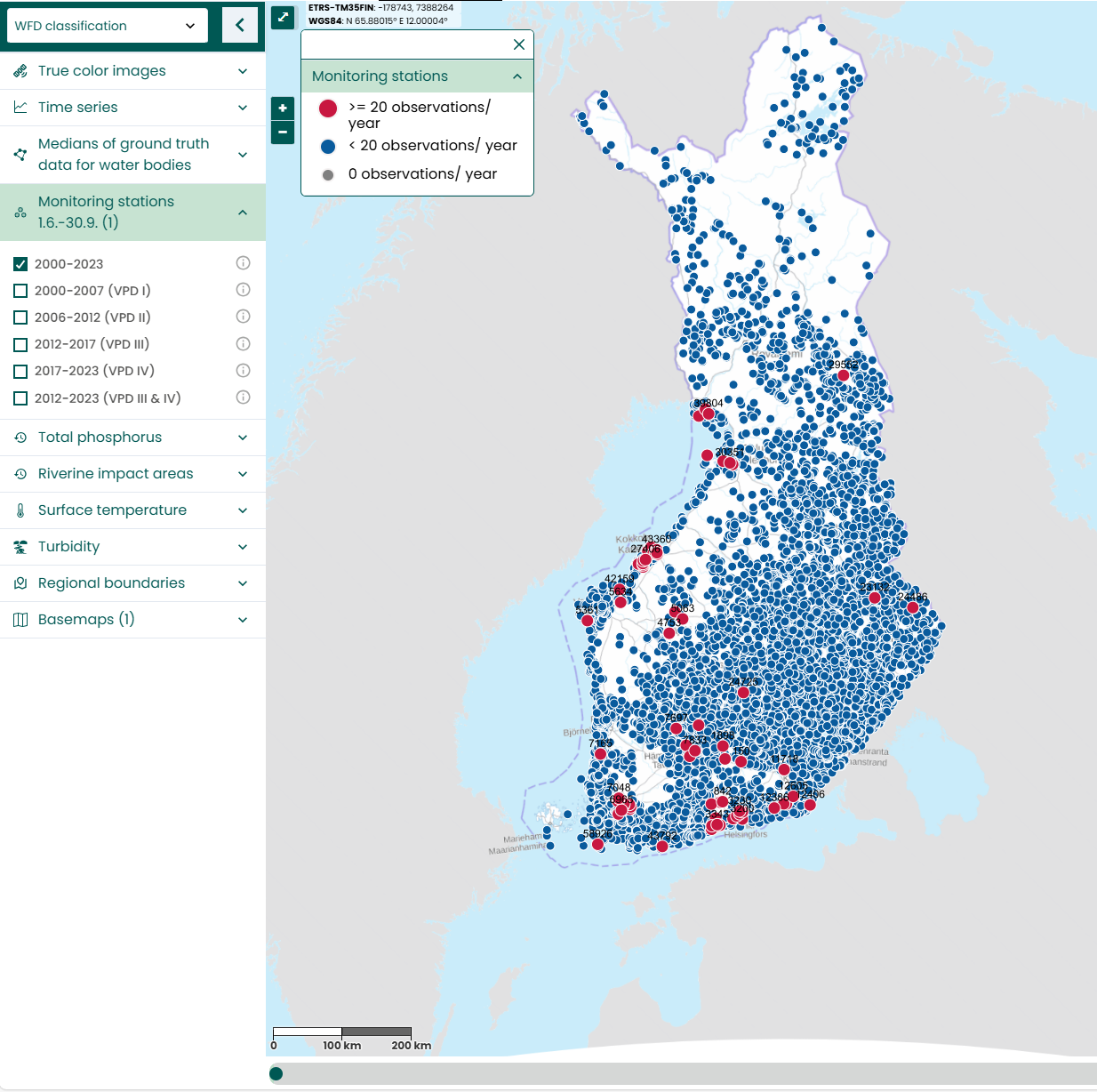 |
| INSPIRE-teema | Administrative units |
| INSPIRE-teema | Environmental monitoring facilities |
| GEMET-asiasana | water quality |
| GEMET-asiasana | surface water |
| GEMET-asiasana | Water Framework Directive |
| GEMET-asiasana | monitoring |
| GEMET-asiasana | coastal water |
| GEMET-asiasana | inland water |
| GEMET-asiasana | ecological assessment |
| GEMET-asiasana | monitoring station |
| Resurssityyppi | Paikkatietoaineisto |
| Muut asiasanat | Ei-Inspire |
| Muut asiasanat: sanaston nimi | |
| Muut asiasanat | Tarkka |
| Muut asiasanat: sanaston nimi | |
| Muut asiasanat | status assessment |
| Muut asiasanat: sanaston nimi | |
| Muut asiasanat | water quality |
| Muut asiasanat: sanaston nimi | |
| Muut asiasanat | water sample |
| Muut asiasanat: sanaston nimi | |
| Muut asiasanat | in-situ |
| Muut asiasanat: sanaston nimi | |
| Muut asiasanat | aggregate |
| Muut asiasanat: sanaston nimi | |
| Muut asiasanat | time series |
| Muut asiasanat: sanaston nimi | |
| Muut asiasanat | designated monitoring station |
| Muut asiasanat: sanaston nimi | |
| Käyttörajoitteet ja lähdemerkintä | Aineisto ei kuulu Syken avoimiin aineistoihin. Käyttötarkoitus Syken ja Elinvoimakeskusten vedenlaatuluokittelijoiden tukiaineisto. Not an open Syke dataset. Planned usage: Supportive dataset for water quality classification experts in Syke and Economic Development Centres |
| Saantirajoitteet | Public access to spatial data sets and services would adversely affect intellectual property rights. |
| Aineiston/järjestelmän tyyppi | vector |
| Aineiston/järjestelmän kieli | fin |
| Aineiston/järjestelmän aiheluokka | environment |
| Aineiston/järjestelmän aiheluokka | inlandWaters |
| Aineiston/järjestelmän aiheluokka | oceans |
| Palvelun tyyppi | |
| Ajallisen kattavuuden alku | 2000-01-01 |
| Ajallisen kattavuuden loppu | 2023-12-31 |
| Palvelun historiatiedot | [FI] Korvaava aineisto Tarkka:n vanhassa versiossa (TARKKA) olleelle asemapaikka-aineistolle. [EN] A replacement dataset for Tarkka's old version TARKKA monitoring station dataset. |