Dataset extent
Ylä-Lapin inventointiluokat
Data and Resources
Additional Info
| Field | Value |
|---|---|
| File Identifier | {9628B0BD-3262-47E1-8227-6F71B1B23807} |
| Metadata Language | fin |
| Organisation responsible for metadata | Suomen ympäristökeskus |
| Contact information of the organisation responsible for metadata | gistuki@syke.fi |
| The role of the organisation responsible for metadata | pointOfContact |
| Metadata revision date | 2024-04-03 |
| EPSG Code of the Reference System, see https://epsg.io/ | EPSG:3067 |
| Resource Date | 2024-03-12 |
| Resource Date Type | publication |
| Unique Resource identifier | |
| Organisation Responsible for Resource | Suomen ympäristökeskus |
| Contact information of the organisation responsible for Resource | gistuki@syke.fi |
| The role of the organisation responsible for Resource | pointOfContact |
| Thumbnail image | 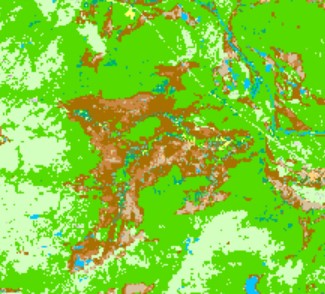 |
| INSPIRE Data Theme | Land cover |
| GEMET Concepts Keyword | habitat |
| GEMET Concepts Keyword | classification |
| GEMET Concepts Keyword | vegetation |
| GEMET Concepts Keyword | remote sensing |
| Resource Classification | Paikkatietoaineisto |
| Other keywords | Ei-Inspire |
| Other keywords: Thesaurus name | |
| Other keywords | FEO |
| Other keywords: Thesaurus name | |
| Other keywords | kasvillisuus |
| Other keywords: Thesaurus name | |
| Other keywords | SYKEn kansallisella rajapinnalla |
| Other keywords: Thesaurus name | |
| Use constraints and source | Creative Commons Nimeä 4.0 Kansainvälinen http://www.syke.fi/fi-FI/Avoin_tieto/Kayttolupa_ja_vastuut Lähde: Syke ja Metsähallitus |
| Access Constraints | no limitations |
| Representation Type | grid |
| Scale (Denominator) | 10000 |
| Resource Language | fin |
| Resource Topic Category | biota |
| Service Type | |
| Begin Date of Temporal Extent | None |
| End Date of Temporal Extent | None |
| Lineage Information | - |