Dataset extent
Uomaverkosto
Data and Resources
Additional Info
| Field | Value |
|---|---|
| File Identifier | {E15CD0B3-3934-4ABC-BF23-A8C622FA6A57} |
| Metadata Language | fin |
| Organisation responsible for metadata | Suomen ympäristökeskus |
| Contact information of the organisation responsible for metadata | gistuki@syke.fi |
| The role of the organisation responsible for metadata | pointOfContact |
| Metadata revision date | 2024-03-13 |
| EPSG Code of the Reference System, see https://epsg.io/ | EPSG:3067 |
| EPSG Code of the Reference System, see https://epsg.io/ | EPSG:3035 |
| Resource Date | 2012-11-14 |
| Resource Date Type | publication |
| Resource Date | 2024-03-12 |
| Resource Date Type | revision |
| Unique Resource identifier | http://paikkatiedot.fi/so/1002202/hy-n/WatercourseLink |
| Organisation Responsible for Resource | Suomen ympäristökeskus |
| Contact information of the organisation responsible for Resource | gistuki@syke.fi |
| The role of the organisation responsible for Resource | owner |
| Thumbnail image | 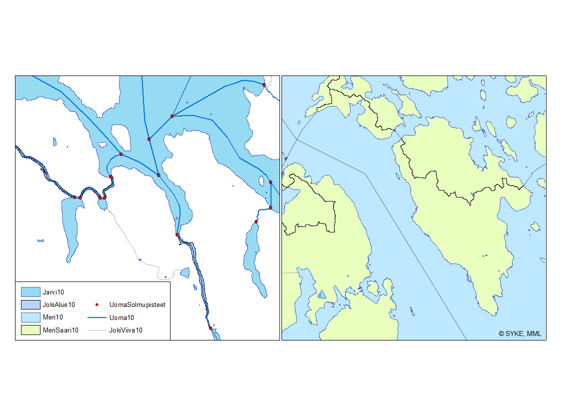 |
| INSPIRE Data Theme | Hydrography |
| GEMET Concepts Keyword | surface water |
| GEMET Concepts Keyword | river |
| Spatial Scope of INSPIRE data | National |
| Resource Classification | Paikkatietoaineisto |
| Other keywords | INSPIRE-tietotuote |
| Other keywords: Thesaurus name | |
| Other keywords | Järvi |
| Other keywords: Thesaurus name | |
| Other keywords | joki |
| Other keywords: Thesaurus name | |
| Other keywords | sisävedet |
| Other keywords: Thesaurus name | |
| Other keywords | pintavesi |
| Other keywords: Thesaurus name | |
| Other keywords | FEO |
| Other keywords: Thesaurus name | |
| Use constraints and source | Uomaverkosto on Syken avoin aineisto, jota koskee CC4.0 BY –lisenssi. Creative Commons Nimeä 4.0 Kansainvälinen http://www.syke.fi/fi-FI/Avoin_tieto/Kayttolupa_ja_vastuut Uomaverkosto, Lähde: Syke |
| Access Constraints | no limitations |
| Representation Type | vector |
| Scale (Denominator) | 10000 |
| Resource Language | fin |
| Resource Topic Category | inlandWaters |
| Service Type | |
| Begin Date of Temporal Extent | unknown |
| End Date of Temporal Extent | unknown |
| Lineage Information | Uomaverkosto pohjautuu Maanmittauslaitoksen maastotietokannan vuosien 2000-2008 aineistoon (1:5 000-1:10 000). Aineiston pohjalta on Sykessä laadittu yhtenäinen topologisesti eheä viivamainen uomaverkosto, joka sisältää aluemaisten jokien ja järvien läpi kulkevat pseudokeskilinjat sekä pienempien jokien viivat, jotka ovat uomaverkoston varrella. Uomaverkostoon on valittu mukaan kaikki yli 10 km2 yläpuolisen valuma-alueen omaavat virtausreitit. Yläpuolisten valuma-alueiden koon mallintamisessa on hyödynnetty MML:n 25m korkeusmallia, jonka virtausreittejä on korostettu Ranta10-aineiston avulla hydrologisen mallinnuksen tarkkuuden parantamiseksi. Lisäksi uomaverkosto sisältää myös vesienhoidollisesti merkittäviä alle 10km2 yläpuolisen valuma-alueen omaavia uomia. Sykessä on korjattu mtk:ssa olevia topologiavirheitä (mm. katkeamat), jotta on saatu luotua topologisesti eheä verkosto. Alueelliset ympäristökeskukset ovat tarkistaneet mallinnetun uomaverkoston virtaussuuntien ja -reittien osalta sekä täydentäneet verkostoa vesienhoidollisesti merkittävillä alle 10km2 yläpuolisen valuma-alueen omaavilla uomilla. Uomille on laskettu yksilöllinen uomatunnus ja muut uomatiedot. Aineiston päivityksessä 14.9.2021 ominaisuustietotaulun sisältö on muuttunut (puuttuvat ominaisuustiedot täydennetään myöhemmin). The river network is based on the shoreline data taken from the topographic database of the National Land Survey of Finland (NLS) in the scale of 1:5 000-1:10 000. The source data is from years 2000-2008, after which the geometry data has not been updated. The topological errors of the database have been corrected by Syke to create a river network. The river network dataset has been completed in Syke by adding central lines through polygon rivers and lakes. The river network includes all river segments with catchment areas larger than 10 km². These were chosen in a hydrological modeling process using 25m DEM of NLS enhanced with Ranta10. Local ELY-centers have verified modeled river network and added river segments considered significant for water management tasks (e.g. WFD). The dataset also includes spatial and physiographic values calculated for individual rivers. Data was updated on 14.9.2021. The contents of an attribute table was changed (missing attributes will be added later). |