Dataset extent
TARKKA-karttapalvelu satelliittikuville / TARKKA map service for satellite images
Data and Resources
Additional Info
| Field | Value |
|---|---|
| File Identifier | {78DE3DBB-18AF-4D0C-9833-8D97178B8EB0} |
| Metadata Language | eng |
| Organisation responsible for metadata | Suomen ympäristökeskus / Finnish Environment Institute (Syke) |
| Contact information of the organisation responsible for metadata | eotuki@syke.fi |
| The role of the organisation responsible for metadata | pointOfContact |
| Metadata revision date | 2023-10-09 |
| EPSG Code of the Reference System, see https://epsg.io/ | EPSG:3857 |
| Service Date | 2017-06-26 |
| Service Date Type | publication |
| Service Date | 2020-06-12 |
| Service Date Type | revision |
| Unique Resource identifier of Service | |
| Organisation Responsible for Service | Suomen ympäristökeskus / Finnish Environment Institute (Syke) |
| Contact information of the organisation responsible for Service | eotuki@syke.fi |
| The role of the organisation responsible for Service | pointOfContact |
| Thumbnail image | 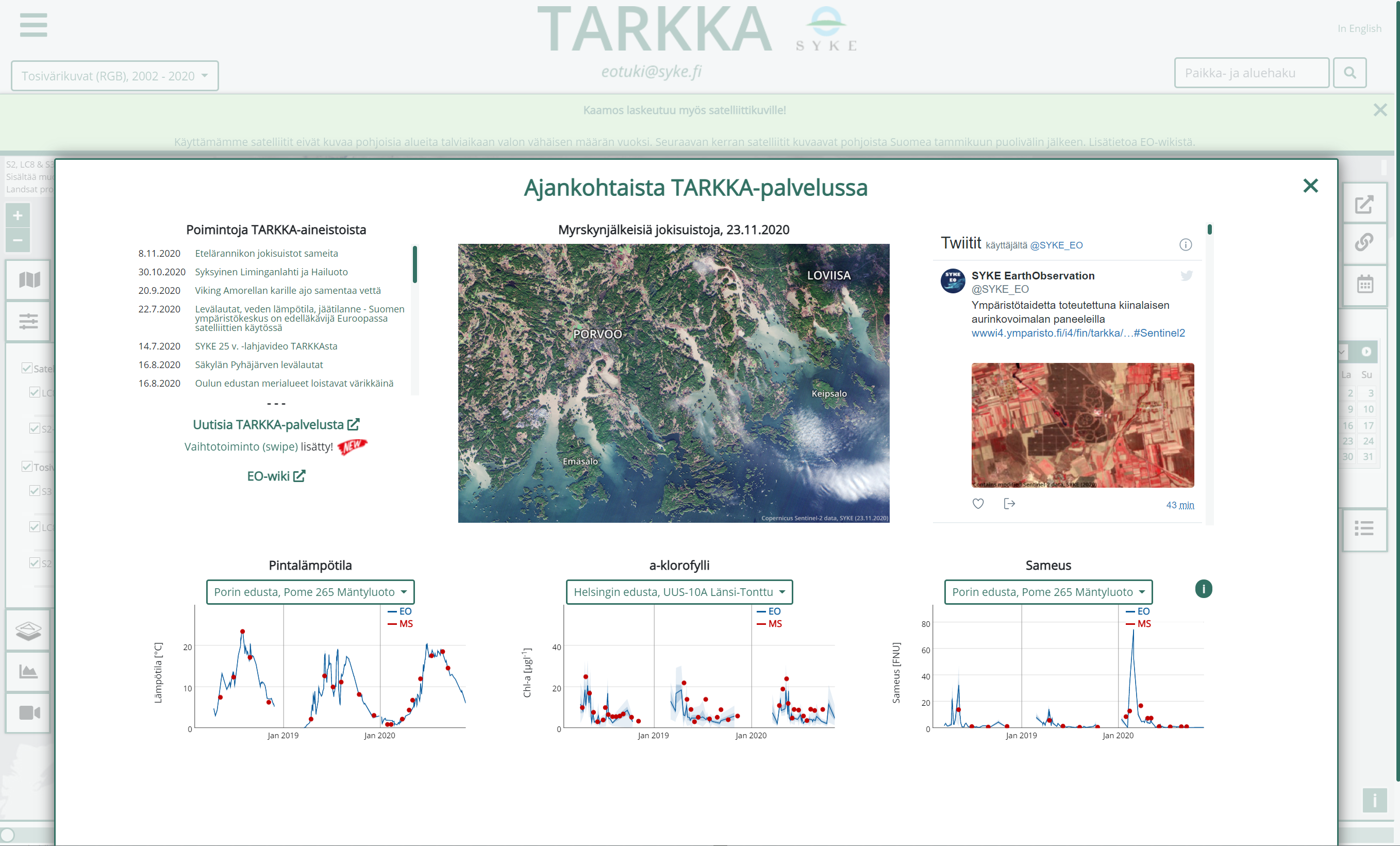 |
| Thumbnail image |  |
| Other keywords | infoMapAccessService |
| Other keywords: Thesaurus name | Commission Regulation (EC) No 1205/2008 of 3 December 2008 implementing Directive 2007/2/EC of the European Parliament and of the Council as regards metadata |
| GEMET Concepts Keyword | earth observation |
| GEMET Concepts Keyword | remote sensing |
| GEMET Concepts Keyword | satellite image |
| GEMET Concepts Keyword | coastal water |
| GEMET Concepts Keyword | freshwater |
| GEMET Concepts Keyword | inland water |
| GEMET Concepts Keyword | sea water |
| GEMET Concepts Keyword | surface water |
| GEMET Concepts Keyword | Water Framework Directive |
| GEMET Concepts Keyword | water body |
| GEMET Concepts Keyword | water quality |
| GEMET Concepts Keyword | ecological status |
| GEMET Concepts Keyword | ecological assessment |
| GEMET Concepts Keyword | eutrophication |
| GEMET Concepts Keyword | temperature |
| GEMET Concepts Keyword | turbidity |
| GEMET Concepts Keyword | chlorophyll |
| GEMET Concepts Keyword | algal bloom |
| GEMET Concepts Keyword | snow |
| GEMET Concepts Keyword | ice |
| GEMET Concepts Keyword | on-line service |
| GEMET Concepts Keyword | land cover |
| Resource Classification | Karttapalvelu |
| Service Category | humanGeographicViewer |
| Other keywords | Ei-Inspire |
| Other keywords: Thesaurus name | |
| Other keywords | status assessment |
| Other keywords: Thesaurus name | |
| Other keywords | TARKKA |
| Other keywords: Thesaurus name | |
| Other keywords | STATUS |
| Other keywords: Thesaurus name | |
| Other keywords | paikkatietopalvelu |
| Other keywords: Thesaurus name | Geoinformatiikan sanasto |
| Use constraints and source | [FI] TARKKA-palvelu on kaikille avoin satelliittiaineistojen katseluun. [EN] TARKKA web map application is openly available for everyone for viewing EO data. |
| Access Constraints | no limitations |
| Service Type | view |
| Begin Date of Temporal Extent | 2002-09-18 |
| End Date of Temporal Extent | now |
| Lineage Information of Service | [FI] Karttapalvelussa esiteltävät aineistot kattavat Suomen ja lähialueet sekä Itämeren alueen alkaen vuodesta 2002. [EN] The datasets presented at the map service cover Finland, Finnish Coastal zone an the Baltic Sea for time period starting 2002. |