Dataset extent
Pohjoisen pallonpuoliskon järvijääpeite vuodesta 2021 alkaen / Lake Ice Extent for the Northern Hemisphere since 2021
Data and Resources
Additional Info
| Field | Value |
|---|---|
| File Identifier | {E5DF431A-6EBC-40CC-970D-2AC51BF1B132} |
| Metadata Language | eng |
| Organisation responsible for metadata | Suomen ympäristökeskus |
| Contact information of the organisation responsible for metadata | eotuki@syke.fi |
| The role of the organisation responsible for metadata | pointOfContact |
| Metadata revision date | 2024-06-26 |
| EPSG Code of the Reference System, see https://epsg.io/ | EPSG:4326 |
| Service Date | 2023-11-21 |
| Service Date Type | publication |
| Unique Resource identifier of Service | |
| Organisation Responsible for Service | Suomen ympäristökeskus |
| Contact information of the organisation responsible for Service | eotuki@syke.fi |
| The role of the organisation responsible for Service | pointOfContact |
| Thumbnail image | 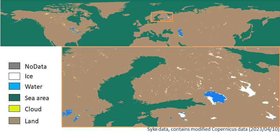 |
| INSPIRE Data Theme | Land cover |
| GEMET Concepts Keyword | remote sensing |
| GEMET Concepts Keyword | earth observation |
| GEMET Concepts Keyword | satellite image |
| Resource Classification | Satelliittihavaintotieto |
| Other keywords | Ei-Inspire |
| Other keywords: Thesaurus name | |
| Other keywords | TARKKA |
| Other keywords: Thesaurus name | |
| Other keywords | jääpeite |
| Other keywords: Thesaurus name | |
| Other keywords | järvet |
| Other keywords: Thesaurus name | |
| Other keywords | lake ice |
| Other keywords: Thesaurus name | |
| Other keywords | Copernicus |
| Other keywords: Thesaurus name | |
| Use constraints and source | Creative Commons Nimeä 4.0 Kansainvälinen [FI] Aineisto noudattaa Copernicuksen maakartoituspalvelun käyttöehtoja seuraavien ehtojen mukaisesti:
[EN] The dataset follows the terms of use of Copernicus Land Monitoring Service under the following conditions:
|
| Access Constraints | no limitations |
| Representation Type | grid |
| Resource Language | eng |
| Resource Topic Category | inlandWaters |
| Service Type | |
| Begin Date of Temporal Extent | 2021-04-01 |
| End Date of Temporal Extent | now |
| Lineage Information of Service | Aineistoa on tuotettu vuodesta 2023 alkaen Tarkka-palveluun. Aineisto on versioitu, ja aikaisempi tuoteversio oli 1.0.1 ja 16.4.2024 alkaen tuoteversio on 1.2.0. |