Dataset extent
Monthly CDOM values from S3 OLCI
Data and Resources
Additional Info
| Field | Value |
|---|---|
| File Identifier | {F2CCE8AE-4C25-497F-B201-0B6457A73D6B} |
| Metadata Language | eng |
| Organisation responsible for metadata | Suomen ympäristökeskus |
| Contact information of the organisation responsible for metadata | eotuki@syke.fi |
| The role of the organisation responsible for metadata | pointOfContact |
| Metadata revision date | 2024-04-11 |
| EPSG Code of the Reference System, see https://epsg.io/ | EPSG:4326 |
| Resource Date | 2020-09-09 |
| Resource Date Type | revision |
| Unique Resource identifier | |
| Organisation Responsible for Resource | Suomen ympäristökeskus |
| Contact information of the organisation responsible for Resource | eotuki@syke.fi |
| The role of the organisation responsible for Resource | pointOfContact |
| Thumbnail image | 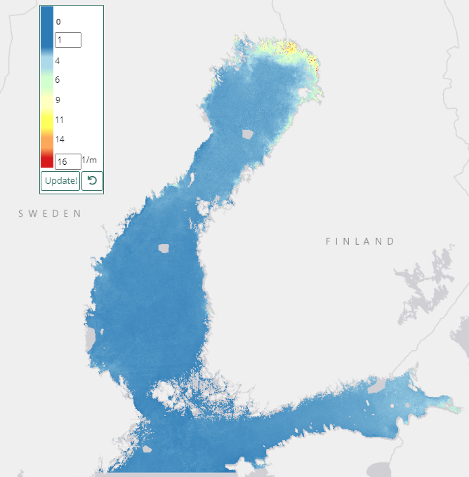 |
| INSPIRE Data Theme | Environmental monitoring facilities |
| INSPIRE Data Theme | Sea regions |
| GEMET Concepts Keyword | marine environment |
| GEMET Concepts Keyword | remote sensing |
| GEMET Concepts Keyword | earth observation |
| GEMET Concepts Keyword | coastal water |
| GEMET Concepts Keyword | sea water |
| GEMET Concepts Keyword | water quality |
| GEMET Concepts Keyword | monitoring |
| Resource Classification | Satelliittihavaintotieto |
| Other keywords | Ei-Inspire |
| Other keywords: Thesaurus name | |
| Other keywords | TARKKA |
| Other keywords: Thesaurus name | |
| Other keywords | brownification |
| Other keywords: Thesaurus name | |
| Use constraints and source | Creative Commons Nimeä 4.0 Kansainvälinen [EN] Syke must be cited as a source if the products are used in publications or performances or otherwise made available to the public. CDOM based on Sentinel-3 data: "Syke data, contains modified Copernicus data (year)" [FI] Syke on mainittava lähteenä, jos tuotteita käytetään julkaisuissa tai esityksissä tai saatetaan muulla tavoin yleisön saataviin. Sentinel-3-aineistoihin perustuva CDOM: "Syke-aineisto, sisältää muokattua Copernicus-dataa (vuosi)" |
| Access Constraints | no limitations |
| Representation Type | grid |
| Resource Language | eng |
| Resource Topic Category | environment |
| Service Type | |
| Begin Date of Temporal Extent | 2017-04-01 |
| End Date of Temporal Extent | 2019-09-09 |
| Lineage Information | Version 1.0 300 m resolution |