Dataset extent
Metsäkasvillisuusvyöhykkeet
Data and Resources
Additional Info
| Field | Value |
|---|---|
| File Identifier | {664BE696-C6A5-4FC4-8D6A-7D2E63D0E9C6} |
| Metadata Language | fin |
| Organisation responsible for metadata | Suomen ympäristökeskus |
| Contact information of the organisation responsible for metadata | gistuki@syke.fi |
| The role of the organisation responsible for metadata | pointOfContact |
| Metadata revision date | 2024-05-20 |
| EPSG Code of the Reference System, see https://epsg.io/ | EPSG:3067 |
| EPSG Code of the Reference System, see https://epsg.io/ | EPSG:3035 |
| Resource Date | 2015-05-12 |
| Resource Date Type | publication |
| Unique Resource identifier | http://paikkatiedot.fi/so/1002011/br/Bio-geographicalRegion |
| Organisation Responsible for Resource | Suomen ympäristökeskus |
| Contact information of the organisation responsible for Resource | gistuki@syke.fi |
| The role of the organisation responsible for Resource | owner |
| Thumbnail image | 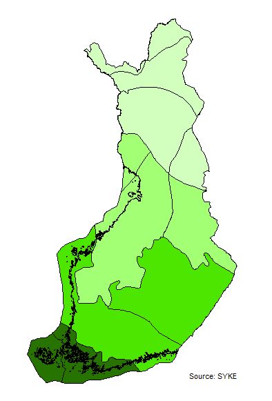 |
| INSPIRE Data Theme | Bio-geographical regions |
| GEMET Concepts Keyword | biogeographical region |
| GEMET Concepts Keyword | forest |
| INSPIRE Priority Dataset | National biogeographical regions |
| INSPIRE Priority Dataset | National biogeographical regions (Habitats Directive) |
| INSPIRE Priority Dataset | National biogeographical regions (Birds Directive) |
| INSPIRE Priority Dataset | National legislation |
| Spatial Scope of INSPIRE data | National |
| Resource Classification | Paikkatietoaineisto |
| Other keywords | INSPIRE-tietotuote |
| Other keywords: Thesaurus name | |
| Other keywords | Kasvillisuus |
| Other keywords: Thesaurus name | |
| Other keywords | metsä |
| Other keywords: Thesaurus name | |
| Other keywords | biomaantieteelliset alueet |
| Other keywords: Thesaurus name | |
| Other keywords | Maan havainnointi ja ympäristö |
| Other keywords: Thesaurus name | High-value dataset categories |
| Other keywords | Arvokkaat tietoaineistot |
| Other keywords: Thesaurus name | EU legislation |
| Other keywords | INSPIRE |
| Other keywords: Thesaurus name | EU legislation |
| Use constraints and source | Creative Commons Nimeä 4.0 Kansainvälinen http://www.syke.fi/fi-FI/Avoin_tieto/Kayttolupa_ja_vastuut Lähde: Syke |
| Access Constraints | no limitations |
| Representation Type | vector |
| Scale (Denominator) | 1000000 |
| Resource Language | fin |
| Resource Topic Category | biota |
| Service Type | |
| Begin Date of Temporal Extent | 1994-01-01 |
| End Date of Temporal Extent | unknown |
| Lineage Information | Suomen rajat pohjautuvat Maanmittauslaitoksen avoimien aineistojen kuntajakoon 1:100 000, 2013, johon on Sykessä lisätty merenrantaviiva ja suurimmat Itämeren saaret Syken omasta rantaviiva-aineistosta. Käyttö aineiston tarkkuuden puitteissa. |