Dataset extent
Maisemamaakuntajako
Data and Resources
Additional Info
| Field | Value |
|---|---|
| File Identifier | {27ACED25-8784-484D-962B-3207459D8BF0} |
| Metadata Language | fin |
| Organisation responsible for metadata | Suomen ympäristökeskus |
| Contact information of the organisation responsible for metadata | gistuki@syke.fi |
| The role of the organisation responsible for metadata | pointOfContact |
| Metadata revision date | 2020-06-26 |
| EPSG Code of the Reference System, see https://epsg.io/ | EPSG:3067 |
| Resource Date | 2010-05-11 |
| Resource Date Type | publication |
| Unique Resource identifier | |
| Organisation Responsible for Resource | Suomen ympäristökeskus |
| Contact information of the organisation responsible for Resource | gistuki@syke.fi |
| The role of the organisation responsible for Resource | owner |
| Thumbnail image | 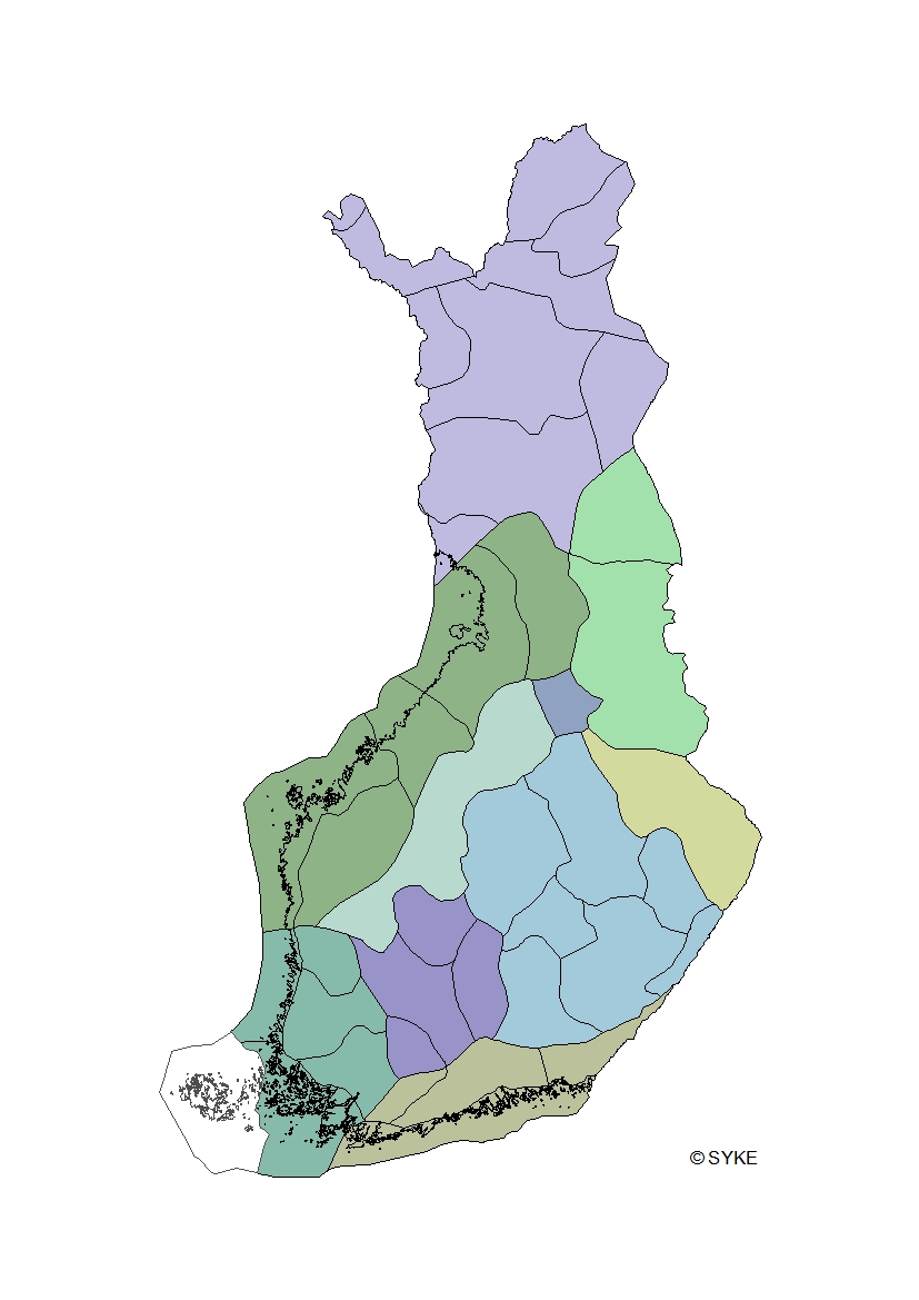 |
| INSPIRE Data Theme | Bio-geographical regions |
| GEMET Concepts Keyword | biogeographical region |
| GEMET Concepts Keyword | cultural heritage |
| GEMET Concepts Keyword | landscape |
| Resource Classification | Paikkatietoaineisto |
| Other keywords | Ei-Inspire |
| Other keywords: Thesaurus name | |
| Use constraints and source | Creative Commons Nimeä 4.0 Kansainvälinen http://www.syke.fi/fi-FI/Avoin_tieto/Kayttolupa_ja_vastuut Lähde: Syke |
| Access Constraints | no limitations |
| Representation Type | vector |
| Scale (Denominator) | 1000000 |
| Resource Language | fin |
| Resource Topic Category | environment |
| Service Type | |
| Begin Date of Temporal Extent | 2010-01-01 |
| End Date of Temporal Extent | unknown |
| Lineage Information | Aineisto on digitoitu Suomen ympäristökeskuksessa kuvaruudulta käyttäen pohjana eri aineistoja. Maisemamaakuntien ja -seutujen nimet vastaavat Maisema-aluetyöryhmän mietinnössä (YM 66/1992) esitettyä nimistöä. Ahvenanmaa lisättty aineistoon 11.9.2018 ja viitedokumenteissa on käytettävissä taulukko, jossa nimiä eri kielillä (ruotsi, englanti, saame). Suomen rajat pohjautuvat Maanmittauslaitoksen avoimien aineistojen kuntajakoon 1:100 000, 2013, johon on Sykessä lisätty merenrantaviiva ja suurimmat Itämeren saaret Syken omasta rantaviiva-aineistosta. The National Landscape Division has been digitized in the Finnish Environment Institute from the screen using different background materials. The names of the landscape provinces and regions are equal to the names used on the the memorandum from the Landscape area working group (Maisema-aluetyöryhmän mietintö (YM 66/1992)). The national borders are from open data of Maanmittauslaitos, Administrative boundaries 1:100 000, 2013, with corrected coastline. The outline border of national waters, digitized in Syke, has been matched to these national borders. Sijainti/Location: .GEO.BiolMaantAluejaot |