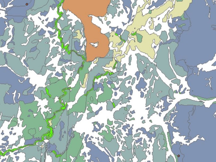
Dataset extent
LuTU2018 Tunturiluontotyyppien esiintymäaineistot uhanalaisuusarvioinnissa, Metsähallitus
Data and Resources
Additional Info
| Field | Value |
|---|---|
| File Identifier | {893F71DE-5333-4528-8778-71B7FC0FD70B} |
| Metadata Language | fin |
| Organisation responsible for metadata | Suomen ympäristökeskus |
| Contact information of the organisation responsible for metadata | gistuki@syke.fi |
| The role of the organisation responsible for metadata | pointOfContact |
| Metadata revision date | 2023-12-14 |
| EPSG Code of the Reference System, see https://epsg.io/ | EPSG:3067 |
| Resource Date | 2022-05-03 |
| Resource Date Type | publication |
| Unique Resource identifier | |
| Organisation Responsible for Resource | Suomen ympäristökeskus |
| Contact information of the organisation responsible for Resource | gistuki@syke.fi |
| The role of the organisation responsible for Resource | pointOfContact |
| Thumbnail image |  |
| INSPIRE Data Theme | Habitats and biotopes |
| GEMET Concepts Keyword | biotope |
| GEMET Concepts Keyword | ecosystem |
| GEMET Concepts Keyword | ecosystem assessment |
| GEMET Concepts Keyword | habitat |
| GEMET Concepts Keyword | mountain ecosystem |
| Resource Classification | Paikkatietoaineisto |
| Other keywords | Ei-Inspire |
| Other keywords: Thesaurus name | |
| Other keywords | tunturiluontotyypit |
| Other keywords: Thesaurus name | |
| Other keywords | luontotyypit |
| Other keywords: Thesaurus name | |
| Other keywords | uhanalaiset luontotyypit |
| Other keywords: Thesaurus name | |
| Other keywords | luontotyyppien uhanalaisuus |
| Other keywords: Thesaurus name | |
| Other keywords | Red List of Ecosystem |
| Other keywords: Thesaurus name | |
| Other keywords | threatened habitat types |
| Other keywords: Thesaurus name | |
| Other keywords | tunturit |
| Other keywords: Thesaurus name | |
| Other keywords | fells |
| Other keywords: Thesaurus name | |
| Other keywords | FEO |
| Other keywords: Thesaurus name | |
| Use constraints and source | Creative Commons Nimeä 4.0 Kansainvälinen https://www.syke.fi/fi-FI/Avoin_tieto/Kayttolupa_ja_vastuut Lähde: Metsähallitus ja Syke This dataset of Syke can be used according to open data license (CC BY 4.0) |
| Access Constraints | no limitations |
| Representation Type | vector |
| Scale (Denominator) | 10000 |
| Resource Language | eng |
| Resource Topic Category | biota |
| Resource Topic Category | environment |
| Service Type | |
| Begin Date of Temporal Extent | None |
| End Date of Temporal Extent | None |
| Lineage Information | Aluemaiset tunturiluontotyyppiaineistot ovat pääasiassa Metsähallituksen SAKTI-kuviotietojärjestelmästä irrotettua kuviotietoa. Haut on tehty Metsähallituksessa tammi–helmikuussa 2017, poikkeuksena tunturikoivulehdot, jotka on haettu 18.9.2017. Muut poikkeukset: -Aineistot variksenmarjatunturikoivikoista (T01.02.01), liekovarpiokankaista (T04.07), ravinteisista kangasmaisista lumenviipymistä (T07.01.02.01), ravinteisista sammalvaltaisista lumenviipymistä (T07.01.02.03), lumenpysymistä (T07.02) ja rotkolaaksoista (T12.01) puuttuvat, sillä niistä on olemassa vain karkeaa asiantuntijatietoa. Pistemäiset tunturiluontotyyppiaineistot on koottu eri lähteistä, kuten asiantuntijahavainnoista, Geologian tutkimuskeskuksen aineistoista sekä Laji-GIS-järjestelmästä. Aineiston sijainti tietokannassa ..\gis\data\luonto\LuTU2018Esiintymat.gdb -LuTU2018_tunturiluontotyypit_alue -LuTU2018_tunturiluontotyypit_piste Aineistot ovat alkuperäismuodossa, eikä niiden geometriaa ole korjattu. The majority of the polygon fell habitat type dataset was extracted from SAKTI Protected area compartment information system by Metsähallitus. The data was retrieved from Metsähallitus in January and February 2017, except for data on herb-rich mountain birch forests, which was retrieved on 18.9.2017. Other exceptions: The following habitat types Empetrum mountain birch forests (T01.02.01), Cassiope tetragona mountain heaths (T04.07), eutrophic heathlike snowbeds (T07.01.02.01), eutrophic bryophyte-rich snowbeds (T07.01.02.03), snow patches (T07.02), and canyons (T12.01) are missing data, because only coarse observational data based on expert knowledge is available for them. The point dataset of fell habitat types was compiled from various sources. These included unpublished expert knowledge, data from the Geological Survey of Finland and from the the national species information database LajiGIS. The datasets are in their original formats and without any geometry corrections. |
