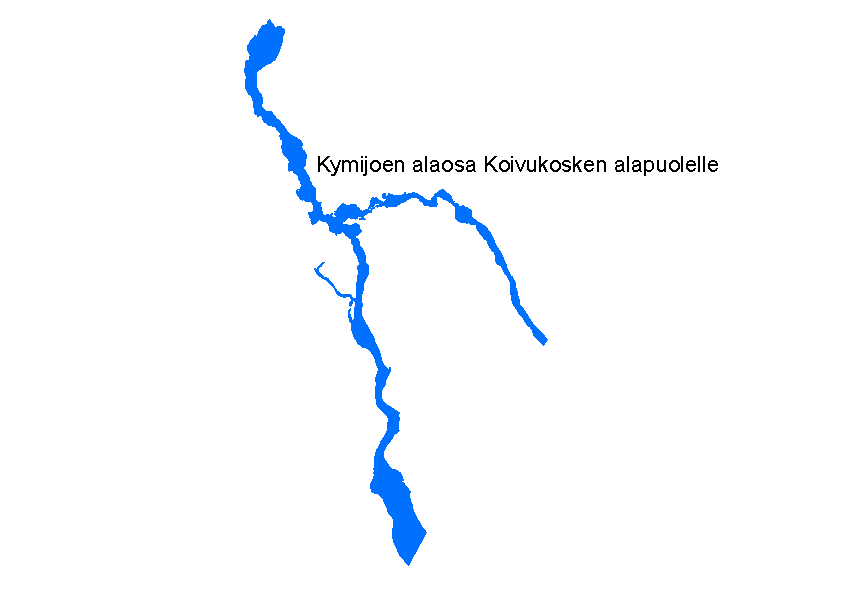
Dataset extent
Koskiensuojelulailla suojellut vesistöt
Data and Resources
Additional Info
| Field | Value |
|---|---|
| File Identifier | {CF5DEA48-E8E4-49AA-8EDB-DBE862B92F07} |
| Metadata Language | fin |
| Organisation responsible for metadata | Suomen ympäristökeskus |
| Contact information of the organisation responsible for metadata | gistuki@syke.fi |
| The role of the organisation responsible for metadata | pointOfContact |
| Metadata revision date | 2024-05-20 |
| EPSG Code of the Reference System, see https://epsg.io/ | EPSG:3067 |
| EPSG Code of the Reference System, see https://epsg.io/ | EPSG:3035 |
| Resource Date | 2000-01-01 |
| Resource Date Type | publication |
| Unique Resource identifier | http://paikkatiedot.fi/so/1002018/am/ManagementRestrictionOrRegulationZone |
| Organisation Responsible for Resource | Suomen ympäristökeskus |
| Contact information of the organisation responsible for Resource | gistuki@syke.fi |
| The role of the organisation responsible for Resource | owner |
| Thumbnail image |  |
| INSPIRE Data Theme | Area management/restriction/regulation zones and reporting units |
| GEMET Concepts Keyword | nature protection |
| GEMET Concepts Keyword | land use |
| Spatial Scope of INSPIRE data | National |
| Resource Classification | Paikkatietoaineisto |
| Other keywords | INSPIRE-tietotuote |
| Other keywords: Thesaurus name | |
| Other keywords | Suojelualue |
| Other keywords: Thesaurus name | |
| Other keywords | Maan havainnointi ja ympäristö |
| Other keywords: Thesaurus name | High-value dataset categories |
| Other keywords | Arvokkaat tietoaineistot |
| Other keywords: Thesaurus name | EU legislation |
| Other keywords | INSPIRE |
| Other keywords: Thesaurus name | EU legislation |
| Use constraints and source | Creative Commons Nimeä 4.0 Kansainvälinen http://www.syke.fi/fi-FI/Avoin_tieto/Kayttolupa_ja_vastuut Lähde: Syke |
| Access Constraints | no limitations |
| Representation Type | vector |
| Scale (Denominator) | 20000 |
| Resource Language | fin |
| Resource Topic Category | environment |
| Service Type | |
| Begin Date of Temporal Extent | 1987-01-23 |
| End Date of Temporal Extent | unknown |
| Lineage Information | Aineisto on numeeristettu alunpitäen Ympäristöministeriössä vuosina 1993-1995 pöytädigitointina. Tausta-aineistona oli 1: 250 000 mittakaavainen pohjakartta. Tämän jälkeen aineistoa on tarkennettu peruskarttamittakaavaan Suomen ympäristökeskuksessa kuvaruutudigitointina. Suojellut vesistöt ja vesistön osat on poimittu valuma-alueet -aineistosta valuma-aluetunnuksen perusteella. The dataset was first digitized by the Ministry of the Environment in 1993-1995. For this digitizing the base map in scale 1:250 000 was used as a source material. After this the dataset has been defined to match the Finnish base maps in scale 1:20 000 in Finnish Environment Institute (Syke). The outlines for the protected catchment areas are merged from the river basin dataset based on the river basin id. |
