Dataset extent
Järvien ja jokien syvyysaineisto
Data and Resources
Additional Info
| Field | Value |
|---|---|
| File Identifier | {DC4AD1E9-F4E5-4998-825D-D2CA4836A2F5} |
| Metadata Language | fin |
| Organisation responsible for metadata | Suomen ympäristökeskus |
| Contact information of the organisation responsible for metadata | gistuki@syke.fi |
| The role of the organisation responsible for metadata | pointOfContact |
| Metadata revision date | 2024-05-20 |
| EPSG Code of the Reference System, see https://epsg.io/ | EPSG:3067 |
| EPSG Code of the Reference System, see https://epsg.io/ | EPSG:3035 |
| Resource Date | 2016-09-13 |
| Resource Date Type | revision |
| Unique Resource identifier | http://paikkatiedot.fi/so/1002010/el/ContourLine |
| Organisation Responsible for Resource | Suomen ympäristökeskus |
| Contact information of the organisation responsible for Resource | gistuki@syke.fi |
| The role of the organisation responsible for Resource | owner |
| Thumbnail image | 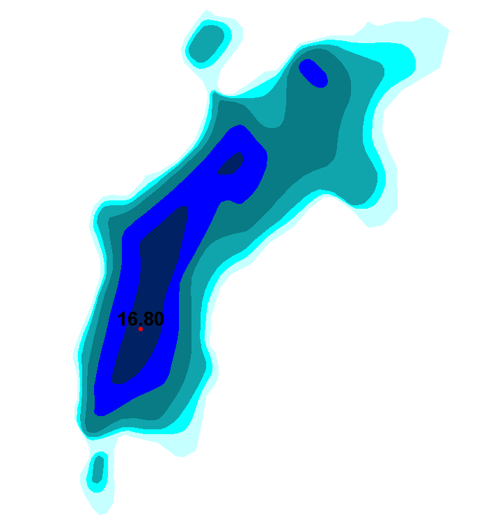 |
| INSPIRE Data Theme | Elevation |
| GEMET Concepts Keyword | surface water |
| Spatial Scope of INSPIRE data | National |
| Resource Classification | Paikkatietoaineisto |
| Other keywords | INSPIRE-tietotuote |
| Other keywords: Thesaurus name | |
| Other keywords | Maan havainnointi ja ympäristö |
| Other keywords: Thesaurus name | High-value dataset categories |
| Other keywords | Arvokkaat tietoaineistot |
| Other keywords: Thesaurus name | EU legislation |
| Other keywords | INSPIRE |
| Other keywords: Thesaurus name | EU legislation |
| Use constraints and source | Creative Commons Nimeä 4.0 Kansainvälinen http://www.syke.fi/fi-FI/Avoin_tieto/Kayttolupa_ja_vastuut Lähde: Syke |
| Access Constraints | no limitations |
| Representation Type | vector |
| Scale (Denominator) | 10000 |
| Resource Language | fin |
| Resource Topic Category | elevation |
| Service Type | |
| Begin Date of Temporal Extent | unknown |
| End Date of Temporal Extent | unknown |
| Lineage Information | Sisävesien (järvet, joet) syvyysaineisto perustuu pääosin ympäristöhallinnon tekemiin syvyysluotauksiin. Luotauspisteaineistosta on Syke:ssa johdettu syvyyskäyrät ja -alueet sekä järven maksimisyvyyspiste. Lammin Pääjärven osalta lähtöaineistona on käytetty Lammin biologisen aseman tuottamaa syvyyskarttaa. Aineiston tuotanto on aloitettu 1998. Vuosittain yleensä syksyisin aineiston täydentyy edellisen vuoden kesänä luodattujen alueiden osalta. |