Dataset extent
Itämeren päivittäinen pintaleväaineisto (Landsat-8/9) 2017– / Daily surface algae blooms of the Baltic Sea (Landsat-8/9) 2017–
Data and Resources
Additional Info
| Field | Value |
|---|---|
| File Identifier | {C51EA21D-ABB7-4872-9CEC-9277C5338893} |
| Metadata Language | fin |
| Organisation responsible for metadata | Suomen ympäristökeskus / Finnish Environment Institute (Syke) |
| Contact information of the organisation responsible for metadata | eotuki@syke.fi |
| The role of the organisation responsible for metadata | pointOfContact |
| Metadata revision date | 2024-06-17 |
| EPSG Code of the Reference System, see https://epsg.io/ | EPSG:3067 |
| Service Date | 2017-07-15 |
| Service Date Type | publication |
| Unique Resource identifier of Service | |
| Organisation Responsible for Service | Suomen ympäristökeskus / Finnish Environment Institute (Syke) |
| Contact information of the organisation responsible for Service | eotuki@syke.fi |
| The role of the organisation responsible for Service | pointOfContact |
| Thumbnail image | 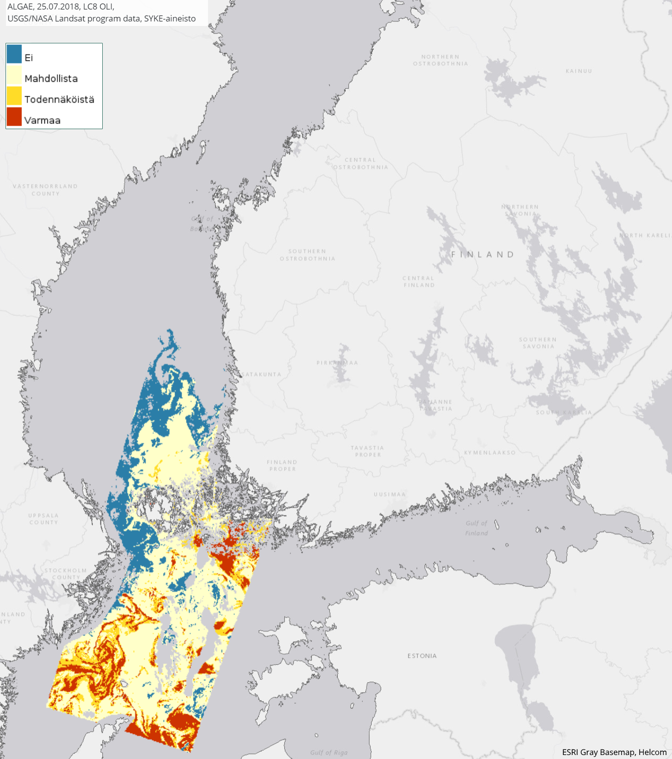 |
| INSPIRE Data Theme | Sea regions |
| GEMET Concepts Keyword | remote sensing |
| GEMET Concepts Keyword | earth observation |
| GEMET Concepts Keyword | satellite image |
| GEMET Concepts Keyword | coastal water |
| GEMET Concepts Keyword | sea water |
| GEMET Concepts Keyword | surface water |
| GEMET Concepts Keyword | water body |
| GEMET Concepts Keyword | Water Framework Directive |
| GEMET Concepts Keyword | water quality |
| GEMET Concepts Keyword | algal bloom |
| Resource Classification | Satelliittihavaintotieto |
| Other keywords | Ei-Inspire |
| Other keywords: Thesaurus name | |
| Other keywords | TARKKA |
| Other keywords: Thesaurus name | |
| Other keywords | STATUS |
| Other keywords: Thesaurus name | |
| Use constraints and source | Creative Commons Nimeä 4.0 Kansainvälinen [FI] Syke on mainittava lähteenä, jos tuotteita käytetään julkaisuissa tai esityksissä tai saatetaan muulla tavoin yleisön saataviin. Landsat-8/9 aineistoihin perustuva pintalevä: "Syke-aineisto, USGS/NASA Landsat Program (vuosi)" [EN] Syke must be cited as a source if the products are used in publications or performances or otherwise made available to the public. Surface algae blooms based on Landsat-8/9 data: "Syke data, USGS / NASA Landsat Program (year)" |
| Access Constraints | no limitations |
| Representation Type | grid |
| Resource Language | eng |
| Resource Topic Category | environment |
| Resource Topic Category | oceans |
| Service Type | |
| Begin Date of Temporal Extent | 2017-07-15 |
| End Date of Temporal Extent | now |
| Lineage Information of Service | Kaukokartoitusseurantojen tuloksena syntynyt levälauttatulkinta, joka pohjautuu Landsat-8 OLI instumentin ja Landsat-9 OLI-2 instumentin satelliittihavaintoihin. Vuodesta 2017 eteenpäin koostuva päivittäinen levälautta-aineisto. Prosessointihistoria: Levälautat on tulkittu Landsat-8 OLI satelliitti-instrumentin ja Landsat-9 OLI-2 satelliitti-instrumentin aineistoilta. Alkuperäinen satelliittidata on ladattu USGS/NASA latauspalveluista. Sykessä niistä on laskettu levätulkinnat. |