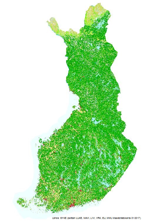
Dataset extent
Corine maanpeite 2018
Data and Resources
Additional Info
| Field | Value |
|---|---|
| File Identifier | {0B4B2FAC-ADF1-43A1-A829-70F02BF0C0E5} |
| Metadata Language | fin |
| Organisation responsible for metadata | Suomen ympäristökeskus |
| Contact information of the organisation responsible for metadata | gistuki@syke.fi |
| The role of the organisation responsible for metadata | pointOfContact |
| Metadata revision date | 2024-05-20 |
| EPSG Code of the Reference System, see https://epsg.io/ | EPSG:3067 |
| EPSG Code of the Reference System, see https://epsg.io/ | EPSG:3035 |
| Resource Date | 2018-11-27 |
| Resource Date Type | publication |
| Unique Resource identifier | http://paikkatiedot.fi/so/1002032/lc/LandCoverUnit/ |
| Organisation Responsible for Resource | Suomen ympäristökeskus |
| Contact information of the organisation responsible for Resource | gistuki@syke.fi |
| The role of the organisation responsible for Resource | owner |
| Thumbnail image |  |
| INSPIRE Data Theme | Land cover |
| GEMET Concepts Keyword | land use |
| GEMET Concepts Keyword | environmental monitoring |
| Spatial Scope of INSPIRE data | National |
| Resource Classification | Paikkatietoaineisto |
| Other keywords | INSPIRE-tietotuote |
| Other keywords: Thesaurus name | |
| Other keywords | Maanpeite |
| Other keywords: Thesaurus name | |
| Other keywords | maankäyttö |
| Other keywords: Thesaurus name | |
| Other keywords | FEO |
| Other keywords: Thesaurus name | |
| Other keywords | Maan havainnointi ja ympäristö |
| Other keywords: Thesaurus name | High-value dataset categories |
| Other keywords | Arvokkaat tietoaineistot |
| Other keywords: Thesaurus name | EU legislation |
| Other keywords | INSPIRE |
| Other keywords: Thesaurus name | EU legislation |
| Use constraints and source | Creative Commons Nimeä 4.0 Kansainvälinen https://www.syke.fi/fi/ymparistotieto/kayttolupa-ja-vastuut Lupatekstit: Lähde: Syke (osittain LUKE, MAVI, LIVI, DVV, EU, MML Maastotietokanta 01/2017) Vektoriaineisto Lähde: Syke, EEA, EU/Copernicus |
| Access Constraints | no limitations |
| Representation Type | vector |
| Scale (Denominator) | 100000 |
| Resource Language | fin |
| Resource Topic Category | environment |
| Service Type | |
| Begin Date of Temporal Extent | 2018-01-01 |
| End Date of Temporal Extent | unknown |
| Lineage Information | CLC2018-luokkien muodostamiseen on käytetty useita eri paikkatietoaineistoja, tärkeimpinä Maanmittauslaitoksen Maastotietokanta, Liikenneviraston Digiroad, Digi- ja väestötietoviraston Väestötietojärjestelmä (Rakennus- ja huoneistorekisteri), Maaseutuviraston peltolohkot vallitsevan kasvin mukaan, EU/Copernicus-ohjelman Imperviousness2015-aineisto sekä CLC2012. Paikkatietoaineistoista saatu maankäyttö ja maaperätieto yhdistettiin Image 2017 -satelliittikuvilta (Sentinel 2) tulkittuihin maanpeitetietoihin. Tulkinnassa hyödynnettiin lisäksi mm.Luonnonvarakeskuksen VMI2015-aineistoa, Metsäkeskuksen laserkeilausaineistoa, digitaalista korkeusmallia ja maaperää kuvaavia teemoja Maastotietokannasta. Lisäksi muutamia luokkia tulkittiin satelliittikuvilta manuaalisesti digitoimalla, kuten golfkentät. Lopputuloksena saatiin rasterimuotoinen paikkatietoaineisto 20 metrin pikselikoolla. Several spatial datasets have been used to compile Finnish CLC2018 classes, most notably The Topographic Database of Finland, Digiroad (digital road database of Finland), Building and dwelling register, Finnish Land Parcel Information System, CLC2012. Land cover and land use information gathered from these sources was integrated with land cover data interpreted from satellite images. The satellite image mosaic used in producing CLC2018 (IMAGE2017) was compiled from ESA Sentinel 2 a+b MSI instruments, with 10*10 m resolution. In the satellite image interpretation process National Forest Inventory data (from Finnish Forest Research Institute), Biotope data (from Metsähallitus), Digital Elevation Model and Soil Information from Topographic Database were also used. In addition, some classes were manually interpreted from the satellite imagery. As a result of combining all these datasets was a spatial database in raster format with 20 m pixel size. |
