Dataset extent
YKR-taajama
Data and Resources
Additional Info
| Field | Value |
|---|---|
| File Identifier | {28F79998-B5E2-4085-AF80-FB3FA5E9F9BA} |
| Metadata Language | fin |
| Organisation responsible for metadata | Suomen ympäristökeskus |
| Contact information of the organisation responsible for metadata | alu_tuki@syke.fi |
| The role of the organisation responsible for metadata | pointOfContact |
| Metadata revision date | 2023-04-21 |
| EPSG Code of the Reference System, see https://epsg.io/ | EPSG:3067 |
| Resource Date | 2022-09-13 |
| Resource Date Type | revision |
| Unique Resource identifier | |
| Organisation Responsible for Resource | Suomen ympäristökeskus |
| Contact information of the organisation responsible for Resource | gistuki@syke.fi |
| The role of the organisation responsible for Resource | owner |
| Thumbnail image | 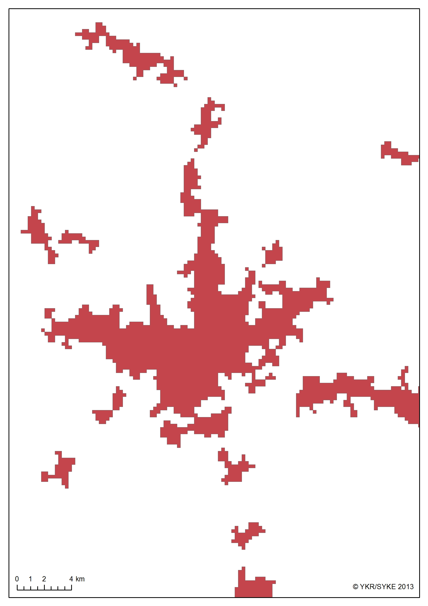 |
| INSPIRE Data Theme | Land use |
| GEMET Concepts Keyword | land use |
| GEMET Concepts Keyword | urban area |
| Resource Classification | Paikkatietoaineisto |
| Other keywords | Ei-Inspire |
| Other keywords: Thesaurus name | |
| Other keywords | SYKEn kansallisella rajapinnalla |
| Other keywords: Thesaurus name | |
| Use constraints and source | Creative Commons Nimeä 4.0 Kansainvälinen http://www.syke.fi/fi-FI/Avoin_tieto/Kayttolupa_ja_vastuut Lähde: Syke/YKR |
| Access Constraints | no limitations |
| Representation Type | vector |
| Resource Language | fin |
| Resource Topic Category | planningCadastre |
| Service Type | |
| Begin Date of Temporal Extent | unknown |
| End Date of Temporal Extent | unknown |
| Lineage Information | Keskeisimmät kriteerit taaja-asutuksen rajauksessa ovat olleet: - rakennusten lukumäärä, - kerrosala, - väestömäärä ja - näiden suhde toisiinsa ja lähiympäristöön etäisyydellä mitattuna. Tällä menettelyllä on haluttu varmistaa muutamien taaja-asutuksen erityispiirteiden huomioiminen mahdollisimman hyvin: - Yksittäisten taajaman reunoilla sijaitsevien, kerrosalaltaan isojen ja toiminannaltaan taajamaan liittyvien rakennusten huomioiminen osaksi taajamaa, vaikka suora etäisyys tilastollisen taajaman ei olisikaan riittävä (mm. isot teollisuuslaitokset, varastot tms.) - Haja-asutukseen verrattavan harvan nauhamaisen asutuksen erottaminen pois taaja-asutuksesta - Taaja-asutuksen sisälle kuroutuneiden alueiden erottaminen erikseen taaja-asutuksesta (mm. taajaman sisäiset isot rakentamattomat tai harvasti rakennetut alueet, pelto- ja metsäalueet sekä vesialueet) Lähtöaineistona rajauksessa käytetään tilastoruutua (250 x 250 m) rakennuskannasta. Ruudukolle toteutetaan yleistys, jossa jokaiseen ruutuun lasketaan summa 1 km:n etäisyydellä olevien ruutujen rakennuksen lukumäärästä ja valitaan ne ruudut, joiden summa-arvo on > 39. Valittujen ruutujen sisältä toteutetaan uusi yleistys, jossa lasketaan vierekkäisten ruutujen summa kerrosalasta. Valitaan ne arvot, jotka ylittävät arvon 1499. Poistetaan ruudukon sisään jäävien tyhjien alueiden ruudut. Valitaan ne alkuperäisen rakennuskannan tilastoruuduston ruudut, jotka jäävät valittujen ruutujen sisään. Valituista perusaineiston ruuduista valitaan ne ruudut, joissa rakennusten lukumäärän summa on > 1 tai kerrosalan summa> 299 Lasketaan ruuduista 250 metrin etäisyysvyöhyke. Lasketaan etäisyysvyöhykkeestä uusi etäisyysvyöhyke "sisäänpäin". Valitaan ne alkuperäisen rakennuskannan tilastoruuduston ruudut, jotka jäävät valittujen ruutujen sisään. Yhdistetään ruudusto (ehtona ruudun sivun osuminen toiseen ruutuun) Lasketaan muodostuneisiin alueisiin väestötieto ja valitaan ne alueet, joissa asukasluku > 199. The delineation of localities is based on the Monitoring System of Spatial Structure and Urban Form (YKR) and on the 250 x 250 meter statistical grid data and is implemented in several phases. First, the concentrations of buildings and population suggesting possible localities are sought. During the process, a series of generalization operations are carried out in order to implement a unified delineation of localities. The threshold values have been selected on the basis of examinations of several different sample areas and cross-sectional years so that regional differences are taken into account as well as possible. The main datasets used in the delineation of localities have been:
Through this delineation procedure, it is ensured that following characteristics of localities are paid attention to:
Processing history: Delineation method The delineation of localities is carried out using the statistical grid (250 x 250 m) of building stock and population. The grid cells that fulfill the following three conditions concerning population, number of buildings and floor area are selected as the base concentrations for the delineation of localities:
The cells meeting the mentioned three criteria are buffered 250 meters outwards and dissolved to form continuous polygons. The polygons are then buffered again inwards 250. The last buffer is used to select cells from the original 250 x 250 meter grid: the cells that have their center point inside the buffered zone are selected. The selected cells that share an edge or a corner are dissolved to form the same polygon. Finally the population for the formed polygons is counted. Polygons with a total population of 200 or more are selected and classified as localities. |