Dataset extent
Väylänvarsien vieraslajit ja arvokkaat elinympäristöt
Data and Resources
Additional Info
| Field | Value |
|---|---|
| File Identifier | {40F139C0-8D4F-42E6-9513-0CCC7C68E2EB} |
| Metadata Language | eng |
| Organisation responsible for metadata | Suomen ympäristökeskus |
| Contact information of the organisation responsible for metadata | gistuki@syke.fi |
| The role of the organisation responsible for metadata | pointOfContact |
| Metadata revision date | 2023-10-18 |
| EPSG Code of the Reference System, see https://epsg.io/ | EPSG:3067 |
| Resource Date | 2022-09-08 |
| Resource Date Type | publication |
| Unique Resource identifier | |
| Organisation Responsible for Resource | Suomen ympäristökeskus |
| Contact information of the organisation responsible for Resource | gistuki@syke.fi |
| The role of the organisation responsible for Resource | pointOfContact |
| Thumbnail image | 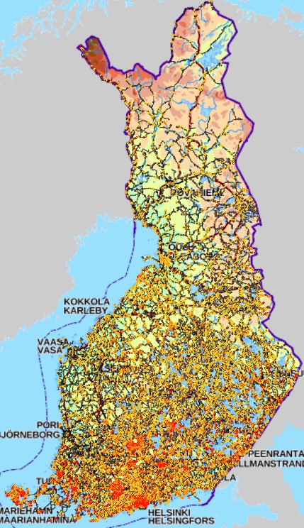 |
| INSPIRE Data Theme | Transport networks |
| INSPIRE Data Theme | Habitats and biotopes |
| Resource Classification | Paikkatietoaineisto |
| Other keywords | Ei-Inspire |
| Other keywords: Thesaurus name | |
| Other keywords | FEO |
| Other keywords: Thesaurus name | |
| Other keywords | SYKEn kansallisella rajapinnalla |
| Other keywords: Thesaurus name | |
| Use constraints and source | Creative Commons Nimeä 4.0 Kansainvälinen http://www.syke.fi/fi-FI/Avoin_tieto/Kayttolupa_ja_vastuut koskee vain paikkatiedon avointa versiota. |
| Use constraints and source | Käyttörajoitettu versio sisältää lajitietokeskuksen sensitiivistä lajitietoa (viranomaiset.laji.fi) ja käyttö on rajoitettua. Älä jaa avoimesti. Lähde:Syke Includes sensitive species information (viranomaiset.laji.fi) and use is restricted. Do not share openly. Source: Syke |
| Access Constraints | Public access to spatial data sets and services would adversely affect the protection of the environment to which such information relates, such as the location of rare species. |
| Representation Type | vector |
| Resource Language | fin |
| Resource Topic Category | environment |
| Service Type | |
| Begin Date of Temporal Extent | None |
| End Date of Temporal Extent | None |
| Lineage Information | - |