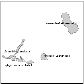
Dataset extent
Valtakunnallisesti arvokkaat kallioalueet
Data and Resources
Additional Info
| Field | Value |
|---|---|
| File Identifier | {626BAE8B-6632-43FD-8B3A-CF1E01662331} |
| Metadata Language | fin |
| Organisation responsible for metadata | Suomen ympäristökeskus |
| Contact information of the organisation responsible for metadata | gistuki@syke.fi |
| The role of the organisation responsible for metadata | pointOfContact |
| Metadata revision date | 2023-10-24 |
| EPSG Code of the Reference System, see https://epsg.io/ | EPSG:3067 |
| Resource Date | 2020-03-17 |
| Resource Date Type | revision |
| Unique Resource identifier | |
| Organisation Responsible for Resource | Suomen ympäristökeskus |
| Contact information of the organisation responsible for Resource | gistuki@syke.fi |
| The role of the organisation responsible for Resource | owner |
| Thumbnail image |  |
| INSPIRE Data Theme | Protected sites |
| GEMET Concepts Keyword | nature protection |
| Resource Classification | Paikkatietoaineisto |
| Other keywords | Ei-Inspire |
| Other keywords: Thesaurus name | |
| Other keywords | SYKEn kansallisella rajapinnalla |
| Other keywords: Thesaurus name | |
| Other keywords | FEO |
| Other keywords: Thesaurus name | |
| Use constraints and source | Creative Commons Nimeä 4.0 Kansainvälinen http://www.syke.fi/fi-FI/Avoin_tieto/Kayttolupa_ja_vastuut Syke applies Creative Commons By 4.0 International license for open datasets. Lähde: Syke Source: Syke |
| Access Constraints | no limitations |
| Representation Type | vector |
| Scale (Denominator) | 20000 |
| Resource Language | fin |
| Resource Topic Category | environment |
| Service Type | |
| Begin Date of Temporal Extent | unknown |
| End Date of Temporal Extent | unknown |
| Lineage Information | Käyttö aineiston tarkkuuden puitteissa Aineisto ei ole juridisesti sitova. Sisältää eri aikoina tuotettuja kohteita. Prosessointihistoria: Aineisto on tuotettu digitoimalla alueiden rajaukset kuvaruudulla. Tausta-aineistona on käytetty peruskarttarasteri-aineistoa. Aineiston tuottaminen on tehty alueittain inventointityön edetessä usean vuoden aikana. Inventointi aloitettiin 1990-luvun alkupuolella. The dataset can be used in accordance to the accuracy and scale of the dataset. The dataset is not legally binding. Features included in the dataset are created separately during longer time period. The dataset was originally digitized during regional inventories started at early 1990's. The dataset includes area delineations digitized from a screen using as a source materialtopographical base maps in a raster form. |
