Dataset extent
Pilotti - drone dataa Pohjois-Karjalan ELY-keskuksen kuvaamana
Data and Resources
This dataset has no data
Additional Info
| Field | Value |
|---|---|
| File Identifier | {B44EAA57-77E5-4862-A743-24583757EFB4} |
| Metadata Language | fin |
| Organisation responsible for metadata | Suomen ympäristökeskus |
| Contact information of the organisation responsible for metadata | mikko.pyykonen@ely-keskus.fi |
| The role of the organisation responsible for metadata | owner |
| Metadata revision date | 2022-05-05 |
| EPSG Code of the Reference System, see https://epsg.io/ | EPSG:4326 |
| Service Date | 2022-05-05 |
| Service Date Type | publication |
| Unique Resource identifier of Service | |
| Organisation Responsible for Service | Suomen ympäristökeskus |
| Contact information of the organisation responsible for Service | mikko.pyykonen@ely-keskus.fi |
| The role of the organisation responsible for Service | owner |
| Thumbnail image | 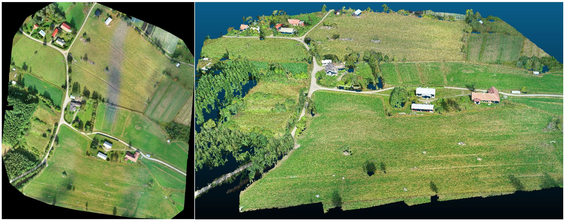 |
| INSPIRE Data Theme | Orthoimagery |
| Spatial Scope of INSPIRE data | National |
| Resource Classification | Paikkatietoaineisto |
| Use constraints and source | Aineistoa voi tiedustalla käyttöön sähköpostitse. Creative Commons Nimeä 4.0 Kansainvälinen http://www.syke.fi/fi-FI/Avoin_tieto/Kayttolupa_ja_vastuut |
| Access Constraints | no limitations |
| Representation Type | grid |
| Scale (Denominator) | 1000 |
| Resource Language | eng |
| Resource Topic Category | environment |
| Resource Topic Category | imageryBaseMapsEarthCover |
| Service Type | |
| Begin Date of Temporal Extent | None |
| End Date of Temporal Extent | None |
| Lineage Information of Service | Kyseessä ELY-keskuksen drone lentojen PILOTOINTIa ympäristöhallinnon sisäiseen käyttöön |