Dataset extent
LuTU2018 Metsien erikoistyyppien esiintymäaineistot uhanalaisuusarvioinnissa
Data and Resources
Additional Info
| Field | Value |
|---|---|
| File Identifier | {52D635D4-9C41-4F78-B981-80CC8EEDB51A} |
| Metadata Language | fin |
| Organisation responsible for metadata | Suomen ympäristökeskus |
| Contact information of the organisation responsible for metadata | gistuki@syke.fi |
| The role of the organisation responsible for metadata | pointOfContact |
| Metadata revision date | 2023-12-14 |
| EPSG Code of the Reference System, see https://epsg.io/ | EPSG:3067 |
| Resource Date | 2022-11-15 |
| Resource Date Type | publication |
| Unique Resource identifier | |
| Organisation Responsible for Resource | Suomen ympäristökeskus |
| Contact information of the organisation responsible for Resource | gistuki@syke.fi |
| The role of the organisation responsible for Resource | pointOfContact |
| Thumbnail image | 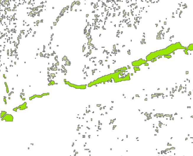 |
| INSPIRE Data Theme | Habitats and biotopes |
| GEMET Concepts Keyword | biotope |
| GEMET Concepts Keyword | coniferous forest |
| GEMET Concepts Keyword | dune |
| GEMET Concepts Keyword | ecosystem |
| GEMET Concepts Keyword | ecosystem assessment |
| GEMET Concepts Keyword | forest |
| GEMET Concepts Keyword | forest ecosystem |
| GEMET Concepts Keyword | rock |
| GEMET Concepts Keyword | sand dune |
| Resource Classification | Paikkatietoaineisto |
| Other keywords | Ei-Inspire |
| Other keywords: Thesaurus name | |
| Other keywords | FEO |
| Other keywords: Thesaurus name | |
| Other keywords | metsäluontotyypit |
| Other keywords: Thesaurus name | |
| Other keywords | luontotyypit |
| Other keywords: Thesaurus name | |
| Other keywords | uhanalaiset luontotyypit |
| Other keywords: Thesaurus name | |
| Other keywords | luontotyyppien uhanalaisuus |
| Other keywords: Thesaurus name | |
| Other keywords | Red List of Ecosystem |
| Other keywords: Thesaurus name | |
| Other keywords | threatened habitat types |
| Other keywords: Thesaurus name | |
| Other keywords | dyynimetsät |
| Other keywords: Thesaurus name | |
| Other keywords | kalliometsät |
| Other keywords: Thesaurus name | |
| Other keywords | harjumetsien valorinteet |
| Other keywords: Thesaurus name | |
| Other keywords | harjumetsät |
| Other keywords: Thesaurus name | |
| Other keywords | paahderinne |
| Other keywords: Thesaurus name | |
| Other keywords | esker forests |
| Other keywords: Thesaurus name | |
| Other keywords | rocky terrain |
| Other keywords: Thesaurus name | |
| Use constraints and source | Creative Commons Nimeä 4.0 Kansainvälinen http://www.syke.fi/fi-FI/Avoin_tieto/Kayttolupa_ja_vastuut Lähde: Syke This dataset of Syke can be used according to open data license (CC BY 4.0) |
| Access Constraints | no limitations |
| Representation Type | vector |
| Scale (Denominator) | 20000 |
| Resource Language | fin |
| Resource Topic Category | environment |
| Service Type | |
| Begin Date of Temporal Extent | None |
| End Date of Temporal Extent | None |
| Lineage Information | Aineistossa ovat yhdistettynä mallinnetut harjumetsien valorinteet ja kalliometsät sekä inventoinneissa löydetyt sisämaan dyynimetsät. Harjumetsien valorinteet perustuvat paikkatietotarkasteluun (Kartano 2017; 2018), jossa luontotyyppiin luettiin kohteet, joilla rinteen kaltevuus on vähintään 5 % ja rinteen viettosuunta on kaakon ja lännen (135-270°) välillä (Korkeusmalli 2017). Maalajiltaan kohteiden tuli kuulua sekalajitteisiin moreenimaihin tai lajittuneisiin karkea- ja hienorakeisiin maalajeihin (Maaperäkartta 1: 200 000). Lisäksi aineisto rajattiin Geologian tutkimuskeskuksen maa-ainestietokannan (2018) perusteella. Aineistosta otettiin mukaan seuraavien muodostumatyyppien alueet: delta, harju, kames, reunamuodostuma, sanduri ja Salpausselät. Corine maanpeiteaineistosta (2012) mukaan hyväksyttiin kivennäismaiden ositteet harvapuustoisista (latvuspeittävyys alle 10 %) sulkeutuneisiin metsiin. Tunturialueen harjut on poistettu. Kalliometsien aineisto on muodostettu yhdistämällä maastotietokannan kallioalueet (LUOKKA = 34100) ja Corine 2012 -aineiston latvuspeittävyystieto. Kalliokuvioilla leikattiin Corine-rasteri ja siitä erotettiin latvuspeittävyydeltään yli 30 %:n ylittävät kuva-alkiot, joista tehtiin edelleen vektoriaineisto. Tunturialueen kalliometsät on poistettu. Sisämaan dyynimetsien aineisto on yhdistelmä tuuli- ja rantakerrostumien (TUURA) inventoinnissa löytyneitä dyynimetsäalueita sekä Metsähallituksen SAKTI-järjestelmästä suodatettuja dyynimetsäalueita. Modelled sun-exposed esker forests, forests on rocky terrain, and inland dune forests have been combined in this dataset. Sun-exposed esker forests are based on spatial data synthesis combining data on geological features, land cover and elevation (Kartano 2017; 2018). The glacifluvial formations were defined by Aggregate sand and gravel -product made by Geological Survey of Finland. The selected formations included: deltas, eskers, kames, sorted terminal moraines, sandurs and the Salpausselkä formations. Forest areas included land cover classes from transitional woodland/shrub to forests, on mineral soil (CORINE Land Cover 2012 raster dataset). Area selection was further narrowed to mixed till or stratified coarse and fine soil types (Superficial deposits of Finland, 1:200 000) and areas where the slope was greater than 5% and aspect was ranging between 135-270 degrees (Digital Elevation Model 2017, 10 m of National Land Survey of Finland.) Eskers on fell areas were excluded. Forests on rocky terrain dataset is comprised of rocky areas (feature class = 34100) from the Topographic Database and canopy cover data from the Corine land cover raster dataset (2012). Areas where the canopy cover exceeded 30% and occurred only rocky areas were transformed into vector data. Forests on rocky terrain in fell areas were excluded. Inland dune forests dataset is a compilation of dune forests identified by the inventory of aeolian and coastal deposits (TUURA) and dune forests areas extracted from SAKTI Protected area compartment information system managed by Metsähallitus. |